What is the best map of France? Live Stock - Tracked 48 delivery 99p Same day dispatch Monday to Thursday up to 14.30hrs
If you think the best is the easiest to use, is in English, is up to date, and has a large scale with clear mapping, then look no further.
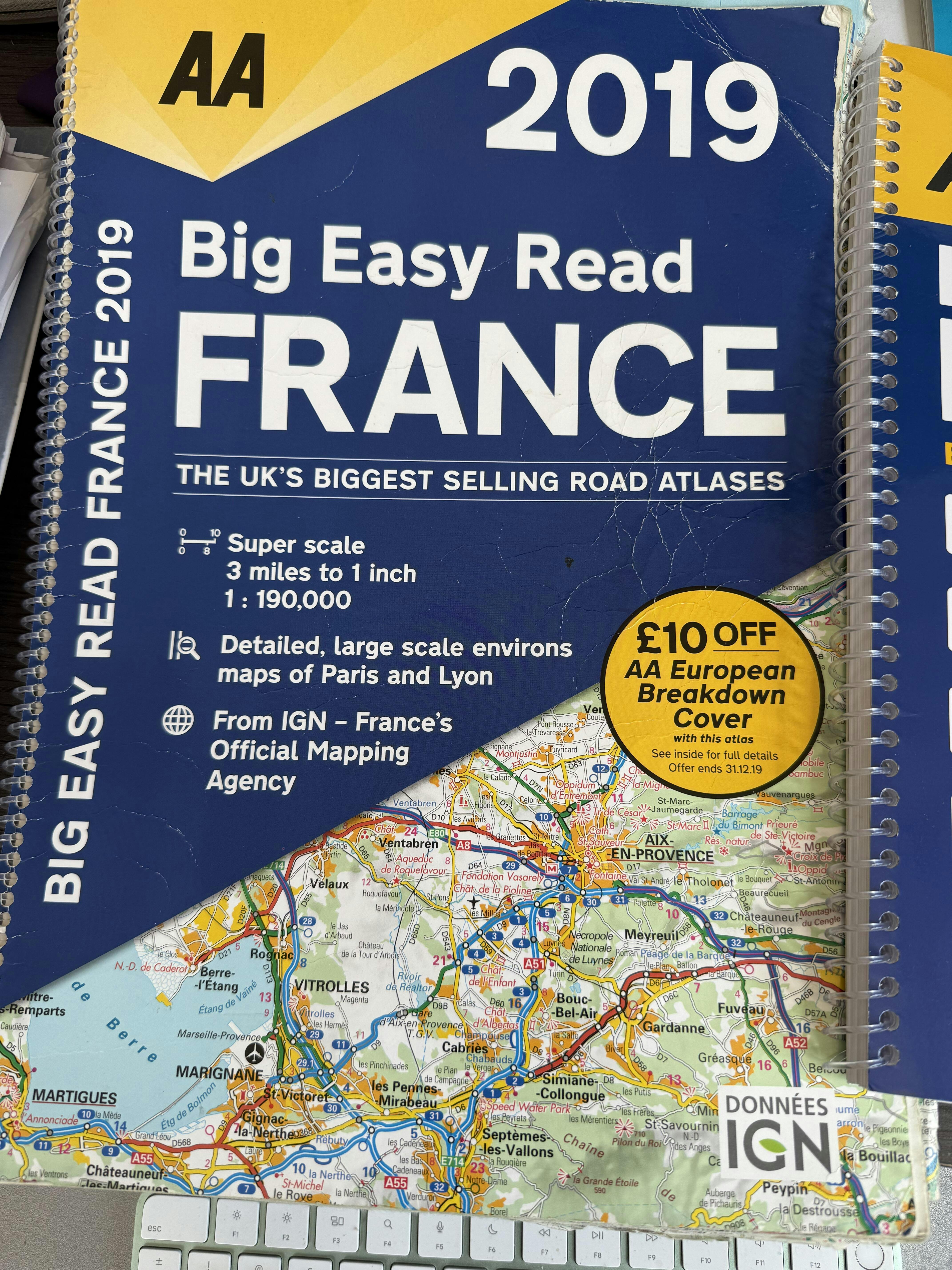
The size is the unique feature of this map, being half way between A4 and A3 which in our opinion is the Goldilocks size of maps. Meli will use this map on our next French tour instead of her beloved Michelin laminated road atlas France which she has been using for the past 15 years navigation and about 480,000 miles. She loves the detail, and no, her map is not 15 years old.
We are including a free copy of All the Aires France locator map because the AA map has no obvious definition between the free and pay sections along the Autoroute toll roads.
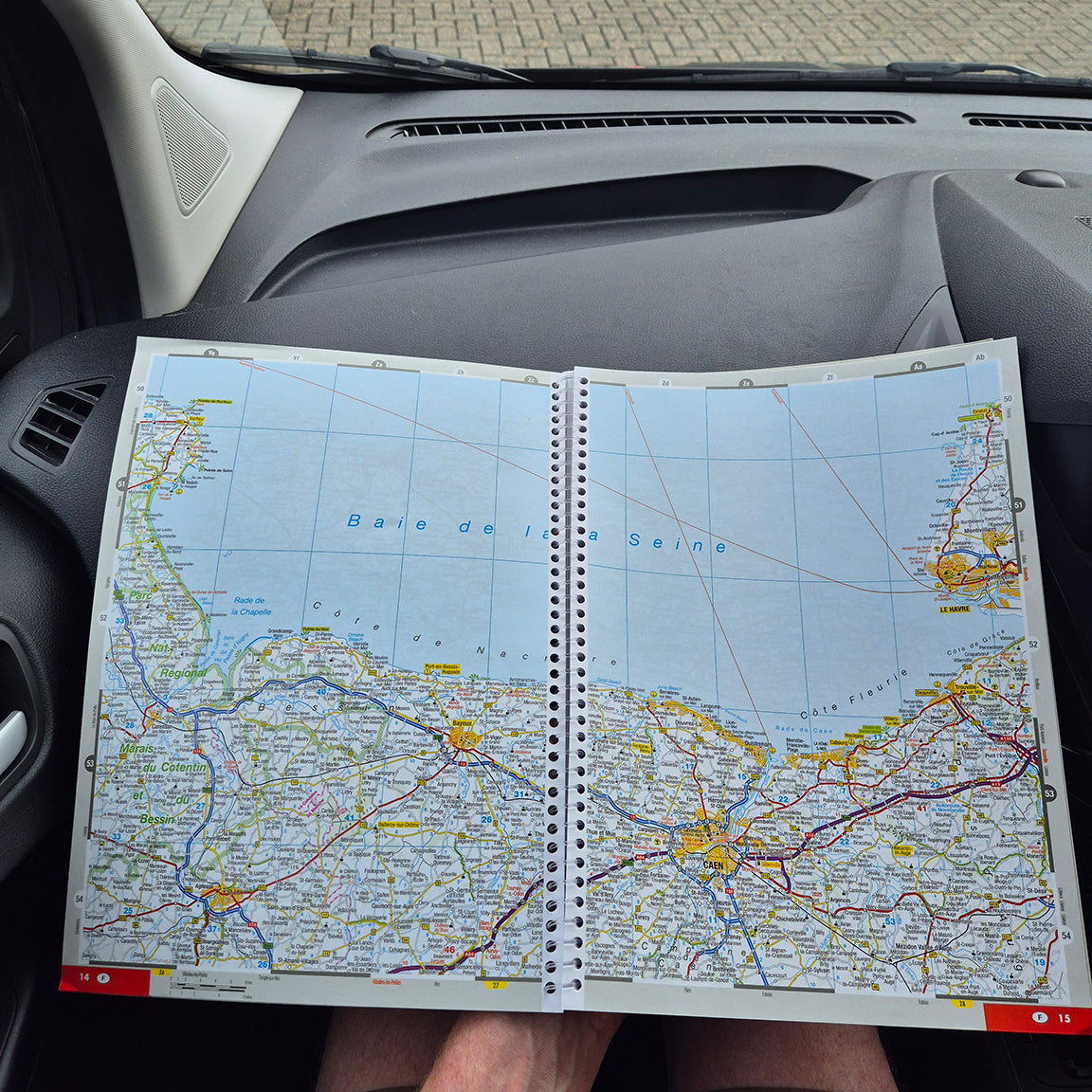
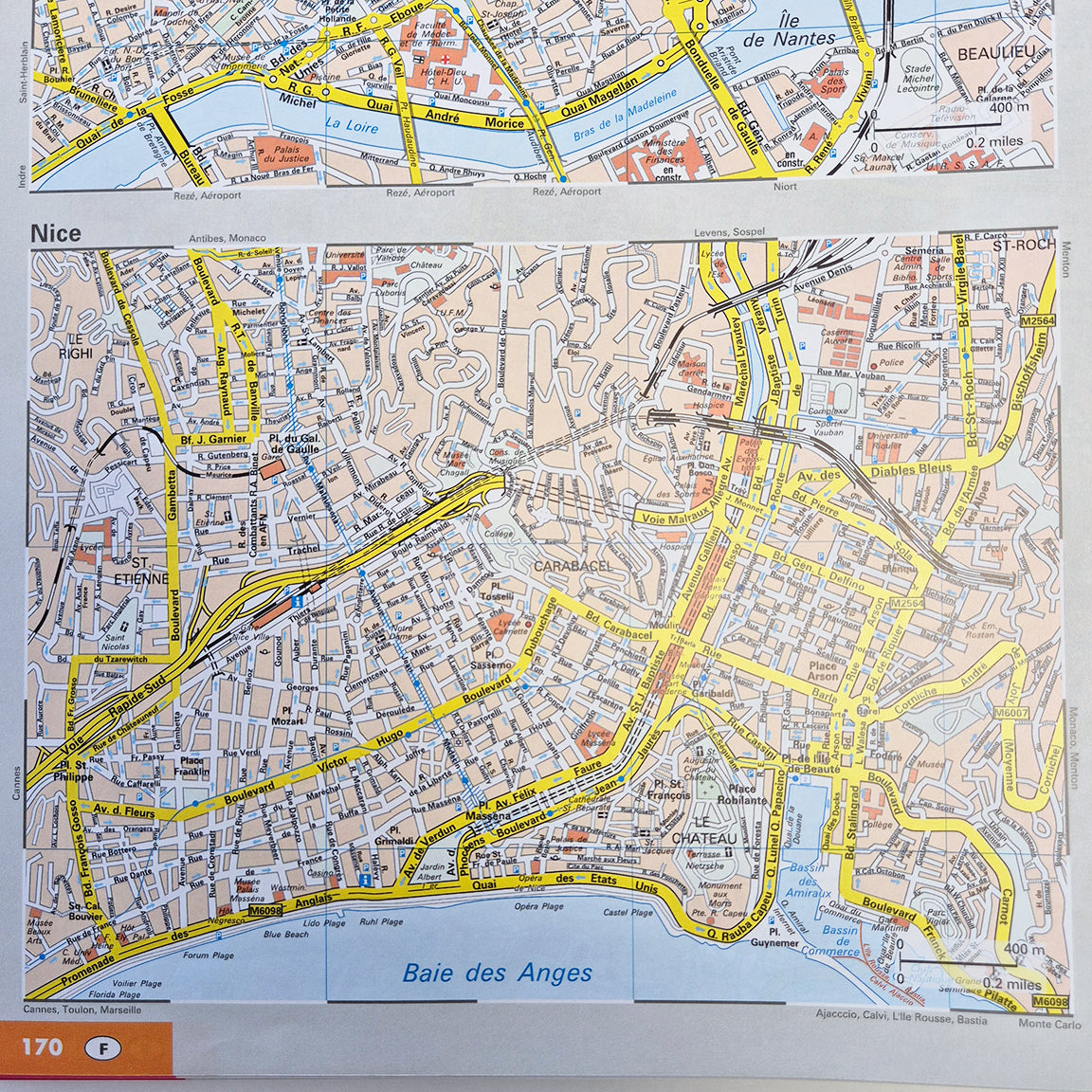
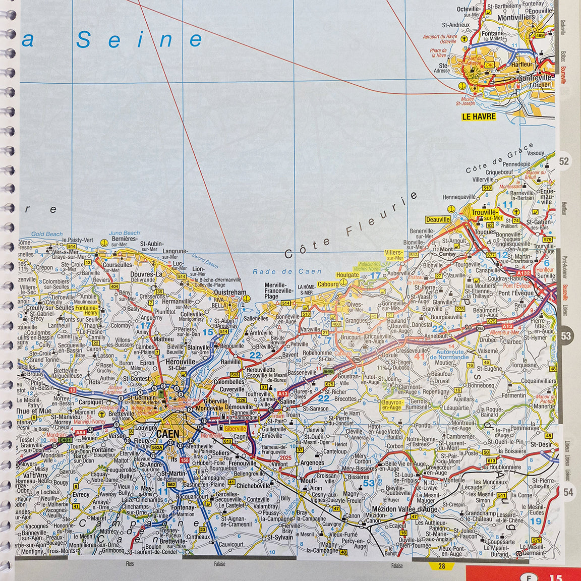
AA maps are uncluttered having plenty of white space which means they are the best maps for using at night. They still contain plenty of detail about roads, topography, and tourist information. Look at the pictures and be amazed at how many Chateaus there are in France, identified by a black square with a flag on top.
Rest assured you are buying an up to date map of France because the cartography came from European experts MairDumont and Kompass Kerten in 2025.
We are frequently get asked if we have a map of France in English this AA map is produced for the UK but the town names have to be in the local language. We drove past Vienna in 2004 not knowing that it is called Wien in Austria.
We are including a free copy of All the Aires France locator map because the AA map has no obvious definition between the free and pay sections along the Autoroute toll roads.
You are free to buy this map from wherever you like, even from Amazon via this Affiliate link, but if you want to support us we will be very grateful.
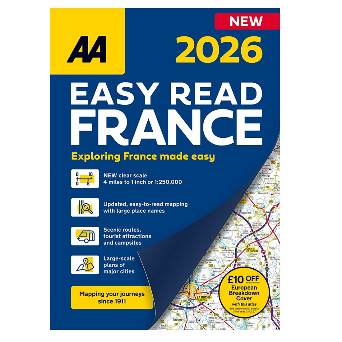
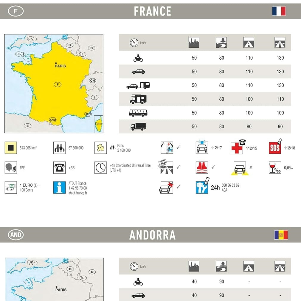
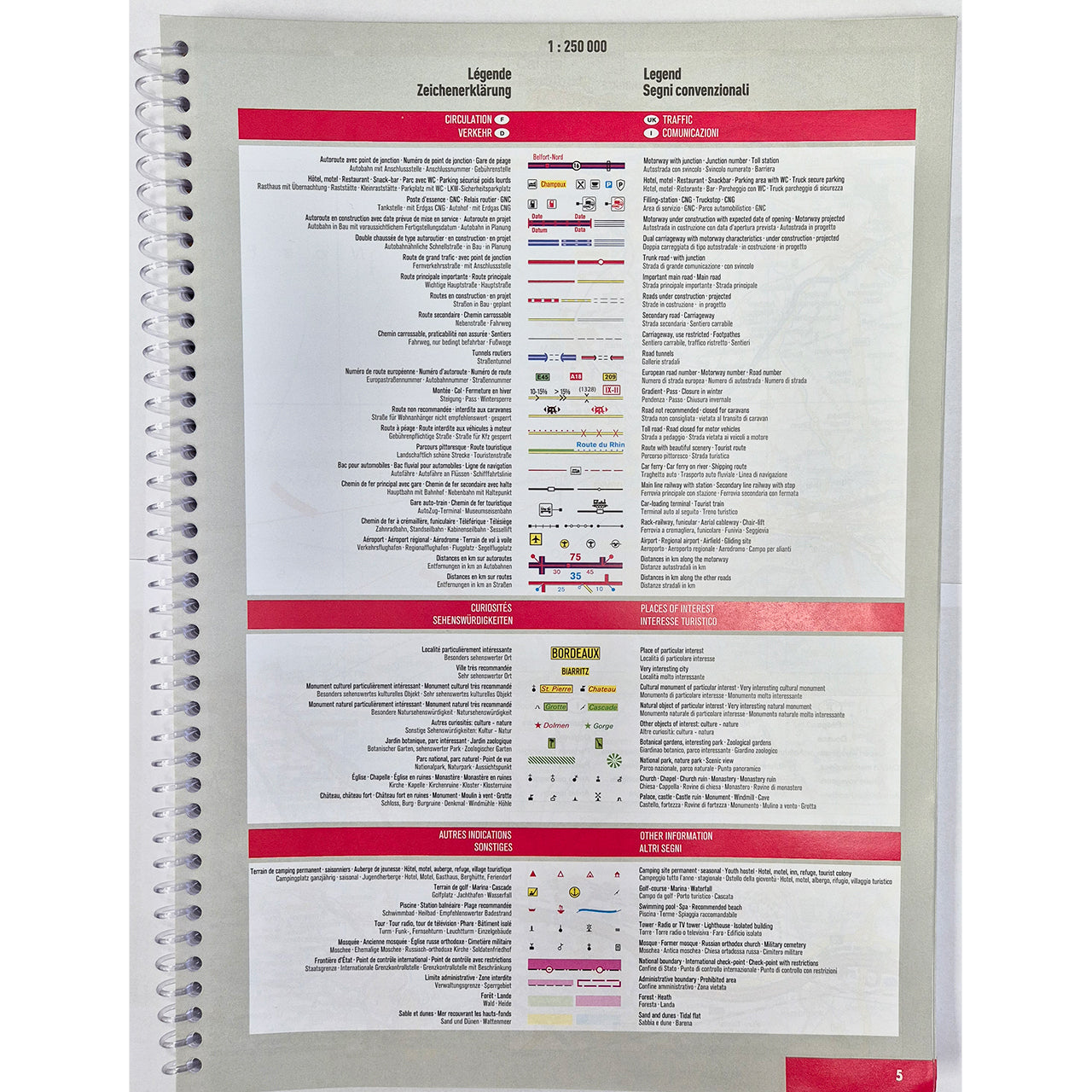
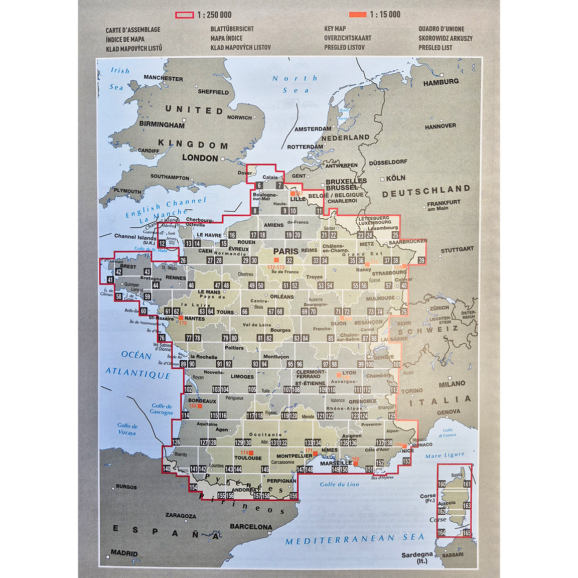
- Crystal-Clear, Large-Scale Mapping: With scales typically from 1:250,000 to larger scales for city plans.
- Comprehensive Road Network: Including major motorways, country lanes, and detailed city plans for Paris, Bordeaux, Lyon, Marseille, and more.
- Seamless Cross-Channel Travel: Featuring terminal plans for Folkestone and Calais.
Enhanced French Experience: Highlighting scenic and tourist routes, points of interest, and practical driving information.
- Durable & User-Friendly Design: With high-quality binding and easy-to-read font.
The description positioned the atlas as an "Essential Companion for Exploring France," perfect for planning road trips and unlocking the country's beauty.
Publication date: 1 June 2025
Pages: 248pp
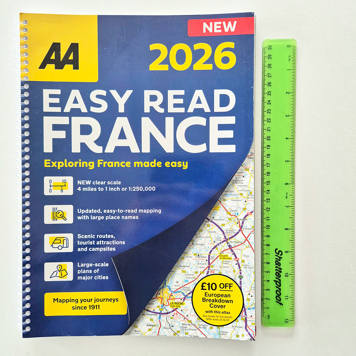
Dimensions: 350 x 240mm (Spiral)
Why buy from us at Vicarious Books Media?
There are just two of us here at Vicarious, and we’ve been publishing, testing, and selling travel and mapping books for over 20 years. We specialise in practical titles for motorhomers, caravanners, road trippers, and anyone who prefers a well-thumbed map to a buffering GPS.
When you buy from us, you’re not just supporting a small business, you’re getting:
Genuine expertise – We handpick titles we’ve used ourselves, and we’re always happy to recommend the right one for your trip.
Carefully packed and promptly posted orders – usually within 24 hours, with personal care taken every step of the way.
Real support from real people – If something’s unclear, just ask. We’re always here to help.
Order your copy of the AA Spain and Portugal Road Atlas from us today and travel with the confidence that comes from expert mapping and personal service. Whether you’re off on a summer holiday or planning a longer overland journey, this atlas is one you’ll be glad to have in the car or van.
Do you understand how road atlases and fold out maps work?
Finding your way with maps blog Meli explains which factors are most important when selecting a road atlas.
What road atlas should I buy?
Read our blog Finding your way with maps where Meli explains the five most important points.