


Customer Reviews
Doesn’t matter how much you spend on a satnav you’ll always need a map book and this one is brilliant..
I couldn't agree more.
Chris
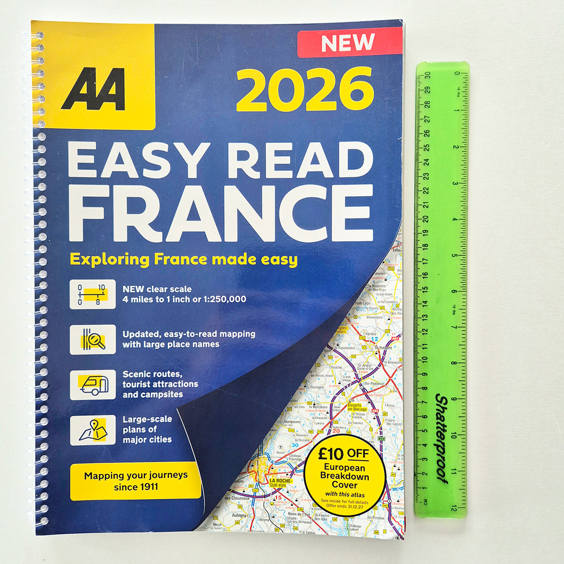
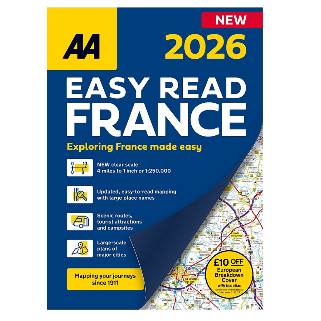
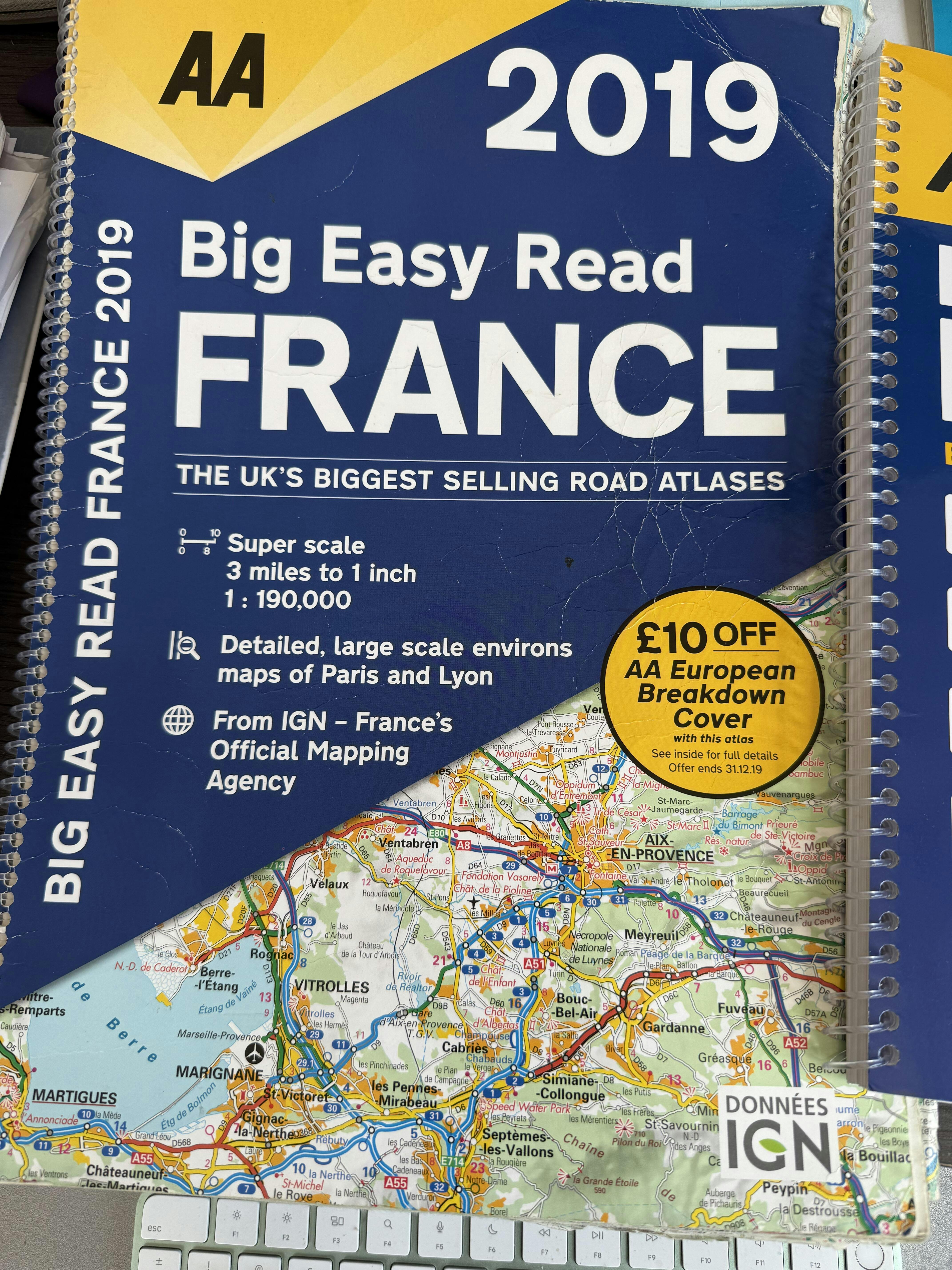
Thanks for our "AA Easy Read France Map". Unfortunately we were expecting the scale to be the same as as our previous 2019 "AA Big Easy Read France" Map (3 miles to 1 inch) Not your fault I should have read the advert properly.
If you are able to locate a new 3 miles to 1 inch version we would be grateful and certainly purchase one.
BIG seems to be the operative word!!
regards
John (Day)

Hello John,
Thanks for your review and explanation.
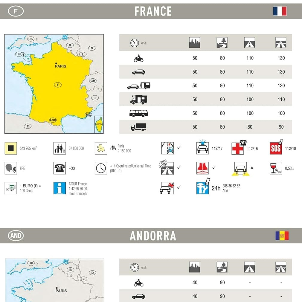
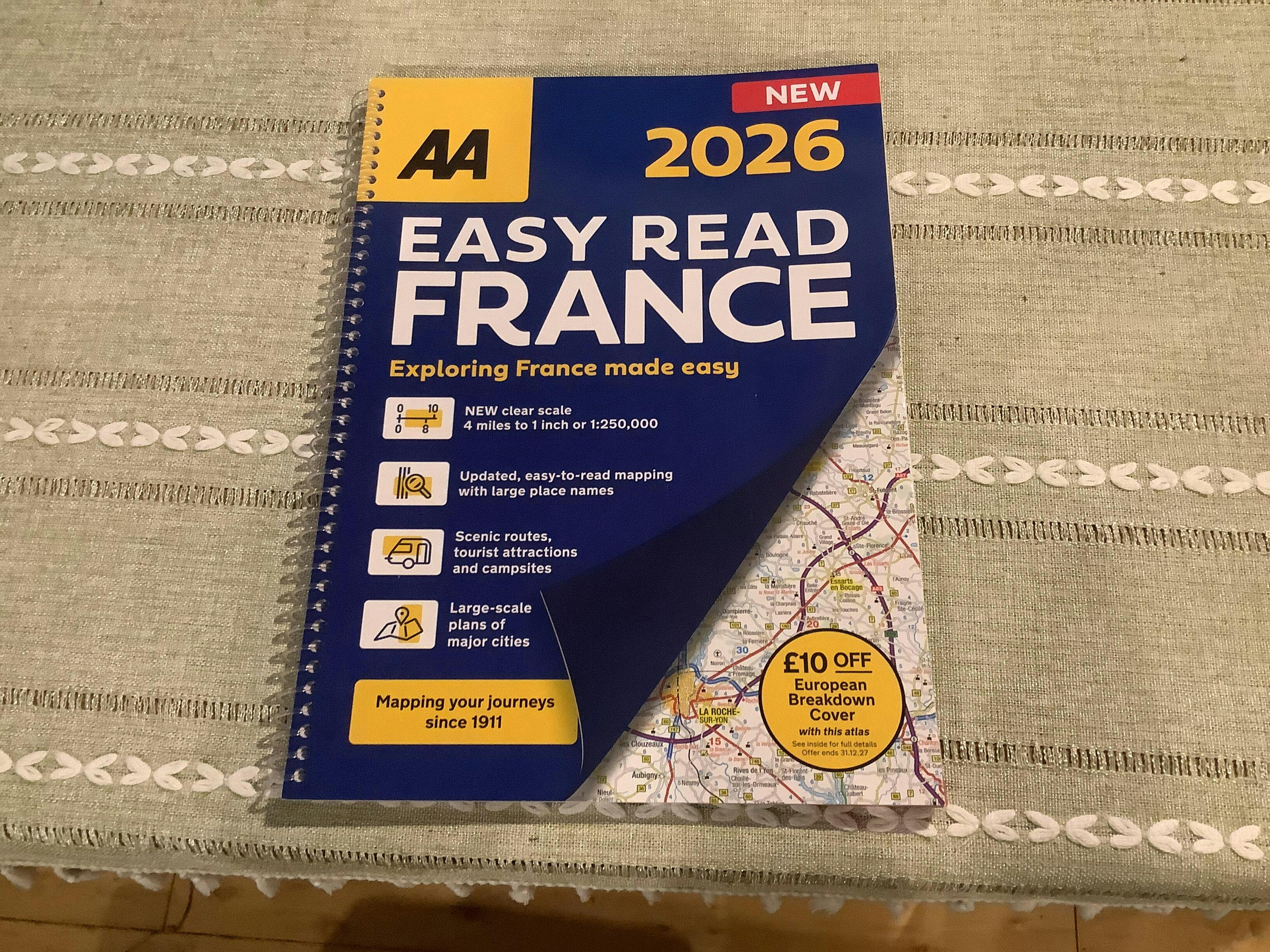
The 2025 AA Easy read France edition is 4 miles to 1 inch or 1.575 miles/cm
The 2019 edition was 3 miles to 1 inch or 1.181 miles/cm
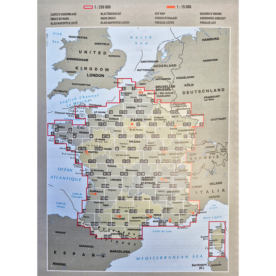
Michelin produce a France Tourist atlas at 1cm = 2km scale which converts to1.2427 miles/cm or 3.16 mile per inch.
https://www.vicarious-shop.com/products/2025-michelin-france-tourist-road-atlas
I hope that helps, Chris
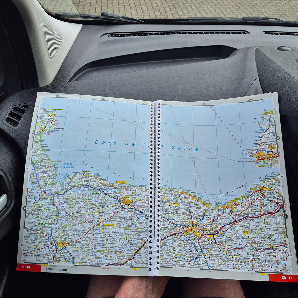
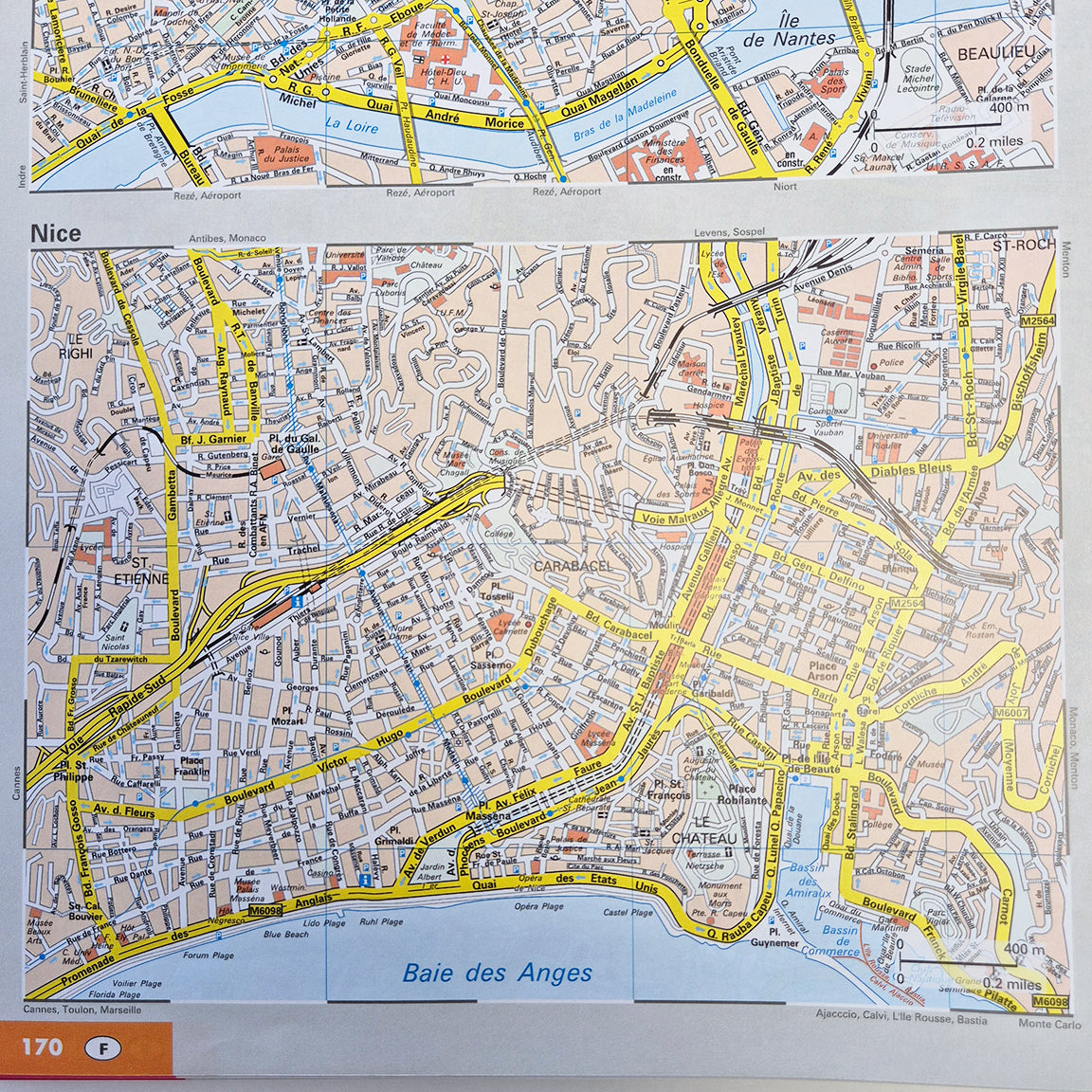
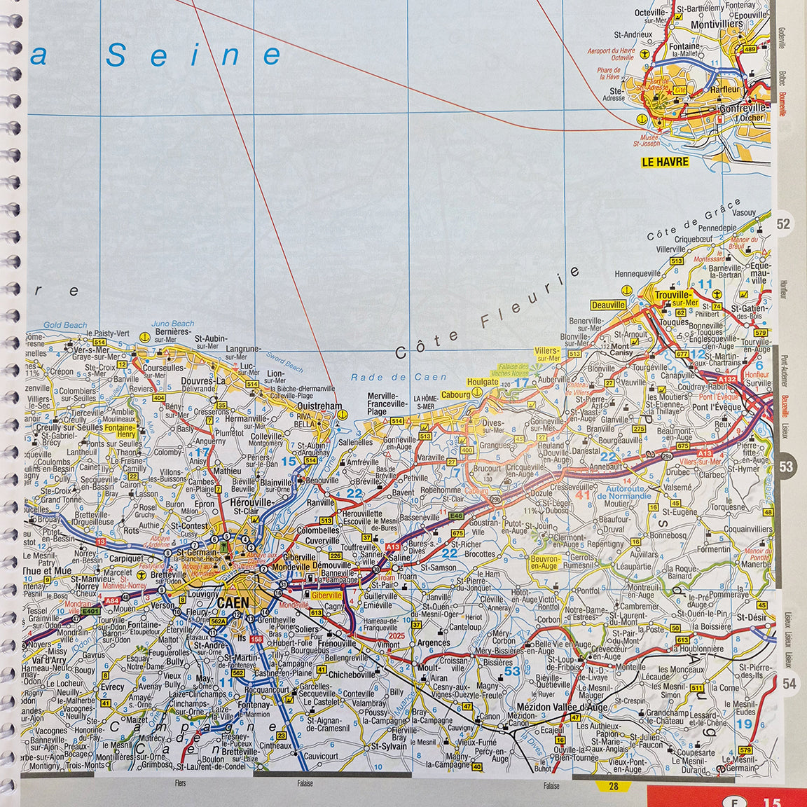
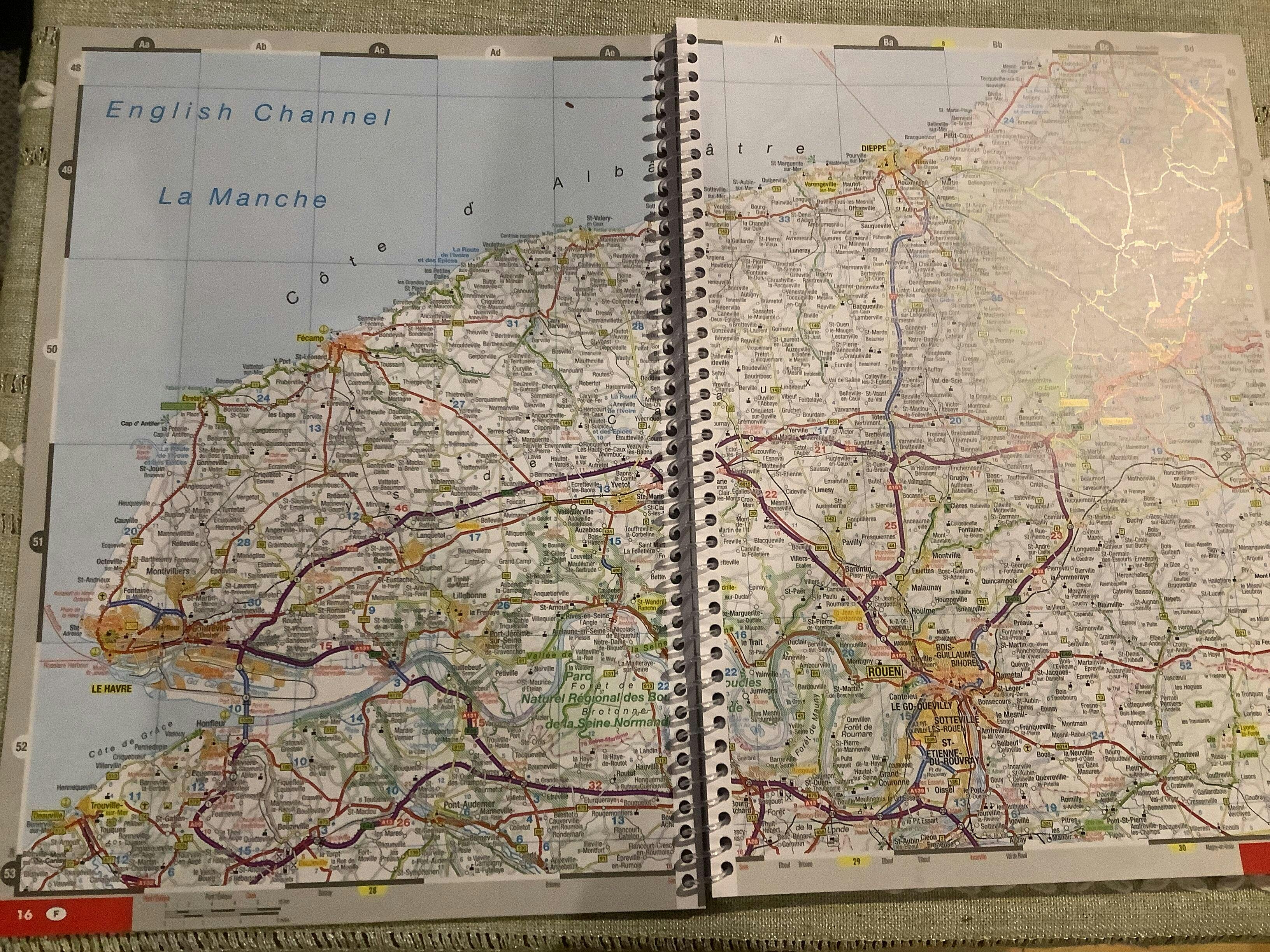
Workable map of France including useful detailed maps of major cities.
Much better than looking at a small satnav screen for plotting a journey.
Really comprehensive and clear, wish I had it years ago.
Nice and big and easy to read. Does exactly as is says on the tin.
Thnks Richard, especially for the photos.
Happy navigating and planning!
Chris Doree
Blog posts
View all-

Introduction to All the Aires The Netherlands
All The Aires The Netherlands Expanded Introduction Are there motorhome Aires in The Netherlands? Camperplaats is the name most used for official motorhome areas in The Netherlands. Generally Dutch municipal...
Introduction to All the Aires The Netherlands
All The Aires The Netherlands Expanded Introduction Are there motorhome Aires in The Netherlands? Camperplaats is the name most used for official motorhome areas in The Netherlands. Generally Dutch municipal...
-

Dusseldorf Caravan Salon: The Greatest Motorhom...
If you have never visited the Caravan Salon motorhome show in Dusseldorf, then perhaps it is time to make that pilgrimage. It is the launch show for the whole European...
Dusseldorf Caravan Salon: The Greatest Motorhom...
If you have never visited the Caravan Salon motorhome show in Dusseldorf, then perhaps it is time to make that pilgrimage. It is the launch show for the whole European...
-

All The Aires Belgium & Luxembourg Intro
Are there motorhome Aires in Belgium and Luxembourg? All the Aires Belgium and Luxembourg it would be better named All the Camperplaats Belgium and Luxembourg. Camperplaats is the name most...
All The Aires Belgium & Luxembourg Intro
Are there motorhome Aires in Belgium and Luxembourg? All the Aires Belgium and Luxembourg it would be better named All the Camperplaats Belgium and Luxembourg. Camperplaats is the name most...


